

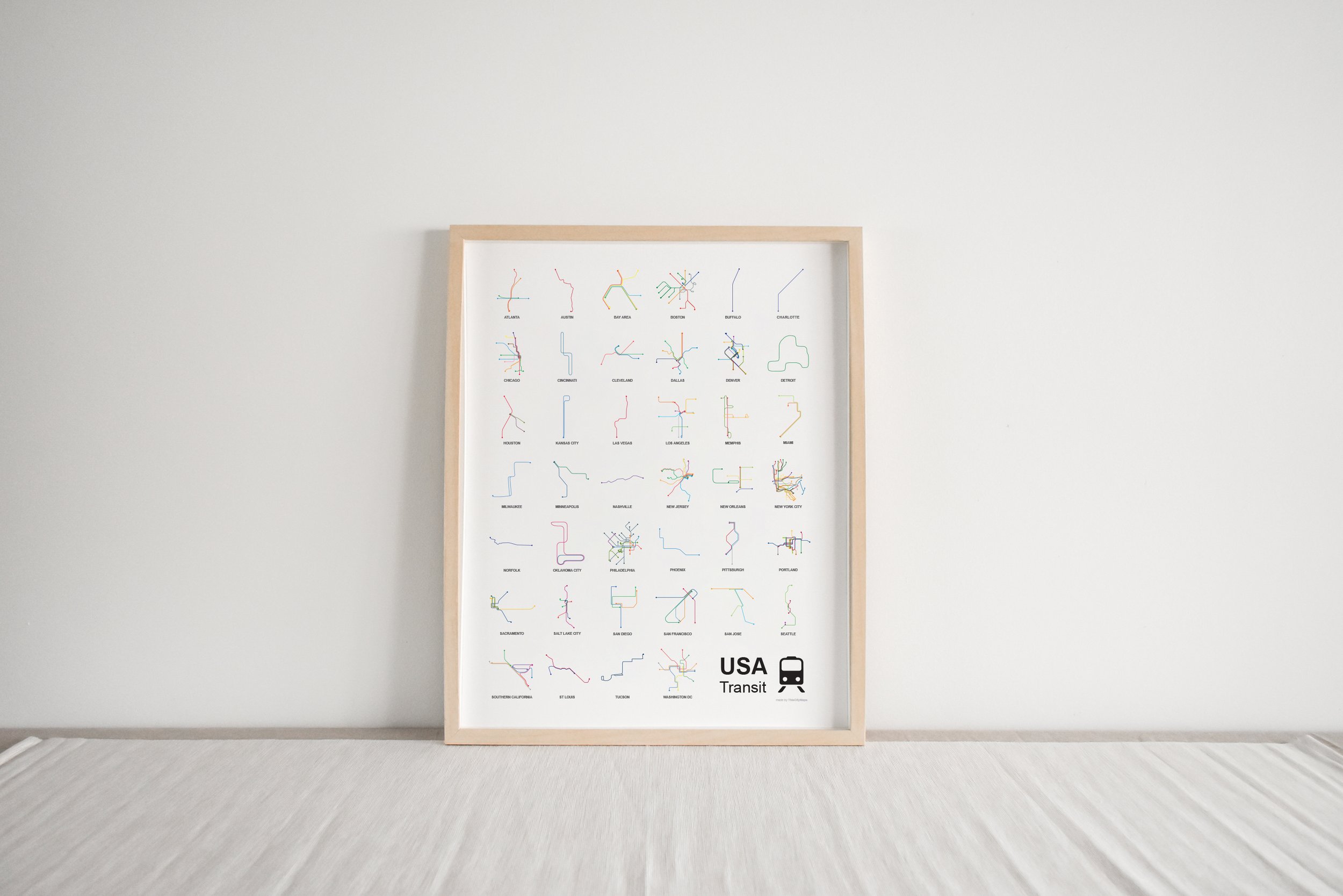

Transit Map Chart
USA Transit Map Chart Print
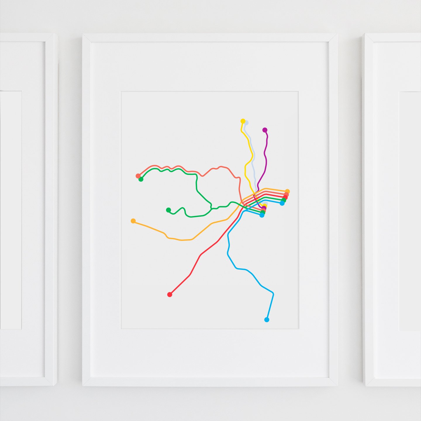
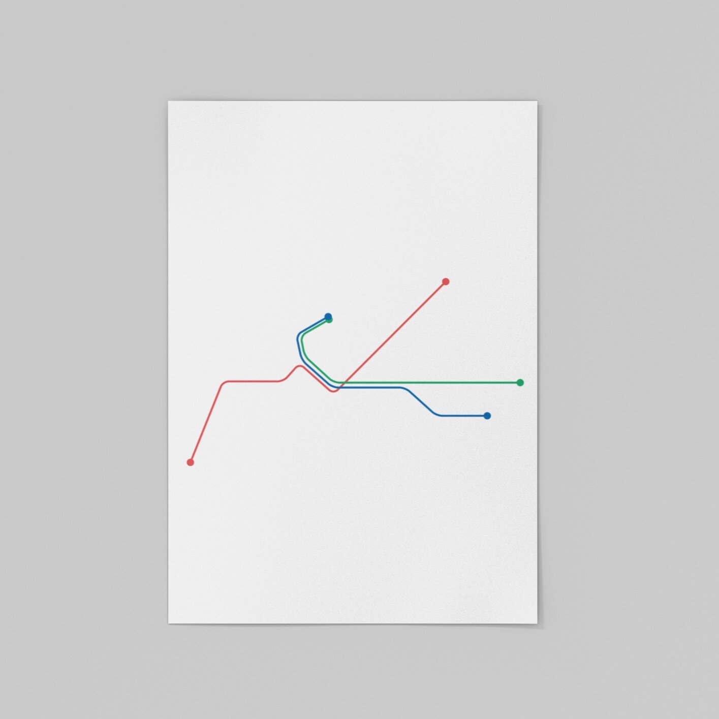
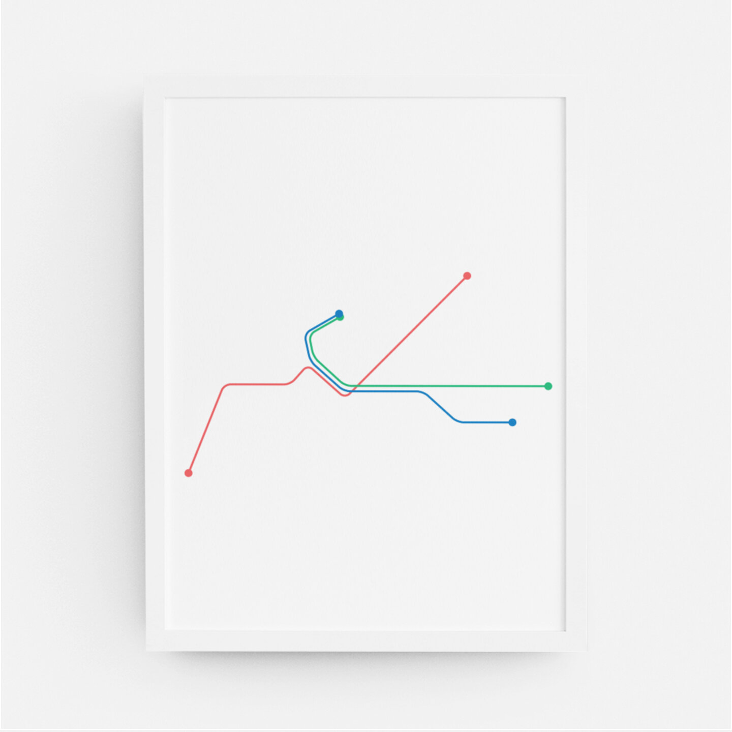
The Transit Map Chart is an original ThisCityMaps design and shows public transportation systems from 40 US cities. Each city’s map is designed based on an official transit system agency map. The cities represented are:
Atlanta - Austin - Bay Area - Boston - Buffalo - Charlotte - Chicago - Cincinnati - Cleveland - Dallas - Denver - Detroit - Houston - Kansas City - Las Vegas - Los Angeles - Memphis - Miami - Milwaukee - Minneapolis - Nashville - New Jersey - New Orleans - New York City - Norfolk - Oklahoma City - Philadelphia - Phoenix - Pittsburgh - Portland - Sacramento - Salt Lake City - San Diego - San Francisco - San Jose - Seattle - Southern California - St Louis - Tucson - Washington DC
See below for additional details and information.
USA Transit Map Chart Print
The Transit Map Chart is an original ThisCityMaps design and shows public transportation systems from 40 US cities. Each city’s map is designed based on an official transit system agency map. The cities represented are:
Atlanta - Austin - Bay Area - Boston - Buffalo - Charlotte - Chicago - Cincinnati - Cleveland - Dallas - Denver - Detroit - Houston - Kansas City - Las Vegas - Los Angeles - Memphis - Miami - Milwaukee - Minneapolis - Nashville - New Jersey - New Orleans - New York City - Norfolk - Oklahoma City - Philadelphia - Phoenix - Pittsburgh - Portland - Sacramento - Salt Lake City - San Diego - San Francisco - San Jose - Seattle - Southern California - St Louis - Tucson - Washington DC
See below for additional details and information.
About the Prints
Each map is carefully and thoughtfully designed by ThisCityMaps. The bold colors and minimalist design aesthetic is perfect for a gift or to hang up in your own space. These maps are designed to celebrate cities worldwide - whether you have called them home or simply have dreams to visit - display them with pride!
Paper
All prints are printed on acid free, museum quality, matte paper (unless stated otherwise in the description). Please keep in mind colors may slightly vary depending on your screen.
Sizes
Please note that based on the size selected, the proportions of the print will affect how much white space surrounds the map graphic.
Shipping
Small format prints are shipped flat and large posters are shipped in a tube to prevent bending. We suggest immediately removing your print from the tube and laying it flat under books or placing it in a frame. Please allow 2-5 business days for print production and 1-5 business days for shipping within the US. Shipping time for all non-US locations will vary.
FAQ
For any other questions, please visit the FAQ page or contact us here.